The Lost Coast is one of the hidden wonders of California that is not as popular tourists destination in comparison to the likes of Yosemite or the nearby Redwood National Park. The remoteness of this place, the lack of facilities, rough roads, sometimes you may need a 4 wheel drive vehicle to traverse to the northernmost trail head of Mattole beach this is not what a regular tourists would like to do, not unless your an avid adventurer, trail runner, trekkers, hikers, or a backpackers.
I'm traveling from the southern most portion of San Joaquin Valley of Kern county, the trip to Humboldt county is a good full day of road travels hovering a little over 600 miles. Although it's all part of the adventure, and I purposely tend to take my time to enjoy the northern California scenery and swing by on places that interest me. The Redwood Highway is dotted with small town, ranches, pine forest, redwoods, douglas fir's, little villages along the way selling artifacts, colorful display of souvenirs, and small cafes, good foods.
Lost Coast they say is not for everyone, the undeveloped coastline is a grueling challenge to a lot of people and that includes some experience hikers, although this backcountry trip of mine is well planned months in advance learning and getting oriented about the area, studying the terrains, including my stop over places for fresh water, rest stops, and off grid camp sites. There are critical areas of the trail that is impassable during the high tides, one of them is 4 miles long of rocky terrains and the next one is at near the end of the trails a two miles long. Definitely the area is not your typical walk in the beach, lot's of concentration to traverse the jagged rocks that put so much strains on my ankles and legs and my foot, and a most of this rocks are quite slippery. I cant afford to get into an accident and ended up having a broken legs or ankles or even banging my heads in one of those rocks, the whole span of the trail have no cellphone connections, so calling for emergency is not an option, it's so far away from civilization that your only chance of getting help are from other hikers or backpackers that were within the area. "Be prepared" is always my mantra, making sure that my backpacks have the essentials for survival and at the same time without over burdening myself with a heavy loads. I've learned to be more wiser in traveling light and wisely managing the gears that I need for the long haul. It was quite a challenge indeed but I also enjoyed it every minute of it, the solitude, the beauty of mother nature, and the best part of it... I am more ever closer to God in every steps I made on that trail.
KEEP THE TIDE CHART. Great way to monitor day-to-day tide is doing research in advance through useful database such as this one. At King Range Office, you can also obtain the latest tide chart to navigate your hike through certain impassable areas that become difficult to cross during the high tide hours.
The town of Garberville is a small community next to the famous Redwood Highway aka US 101 and the PCH or CA Highway 1 merged in this area. The King Range is a very rugged mountain with tall ridges that have frustrated the highway builders during the days and eventually give up in building the extension of PCH Highway 1 along those mountain passes.
Welcome to the Village town of Redway.
Redwood National Forest - Avenue of the Giants
 |
| Redway Chamber of Commerce photo. |
The Land of the Giants
Redway California
This is my staging point before heading out to Shelter Cove to catch the shuttle that will drive us to Mattole River Trailhead. Redway has the last gas stations and grocery market for conveniences before getting into the realms of the Lost Coast.
 |
| Inside the cabin at the Deans Resort in Redway (resorts photo) |
 |
| Deans Creek Resort Cabin (photo courtesy of Deans resort) |
The Cabin is a great place into finalizing my backpacks and other gears and a good place to relax before the long backpacking trip.
King Range National Conservation Area
A spectacular meeting of land and sea is certainly the dominant feature of King Range National Conservation Area (NCA). Mountains seem to thrust straight out of the surf, a precipitous rise rarely surpassed on the continental U.S. coastline. King Peak, the highest point at 4,088 feet, is only 3-miles from the ocean. The King Range NCA encompasses 68,000 acres along 35 miles of California's dramatic north coast.
The sign near the trailhead parking lot, this is the area where to catch the shuttle, and this will be the southern end of the trail. Backpackers will take a one way ride to the northernmost trail head of Mattole river and begin the journey south to Black Sand Beach Trailhead or Shelter Cove.
Lost Coast Adventure Tours - one of the authorized tour services by the BLM - Bureau of Land Management that shuttles backpackers to the northern trail head of Mattole river.
https://lostcoastadventures.com/
The Mattole Trail Head - starting point.
Rangers will check if you have a bear canister and your wilderness back country permit.
Weather forecast - SUNNY for the next 4 days
First day of the hikes.
Starting time around 9:00 am.
Mattole Beach on the north end of the Lost Coast.
This is the coastline that is untouched by developments, we're very fortunate enough that they made this place into a national conservation area that protect a great swat of lands and seas and deters any type of development. This place is wild as it can be, this is where you'll have the opportunity to see how the coast line looks like in the olden days.
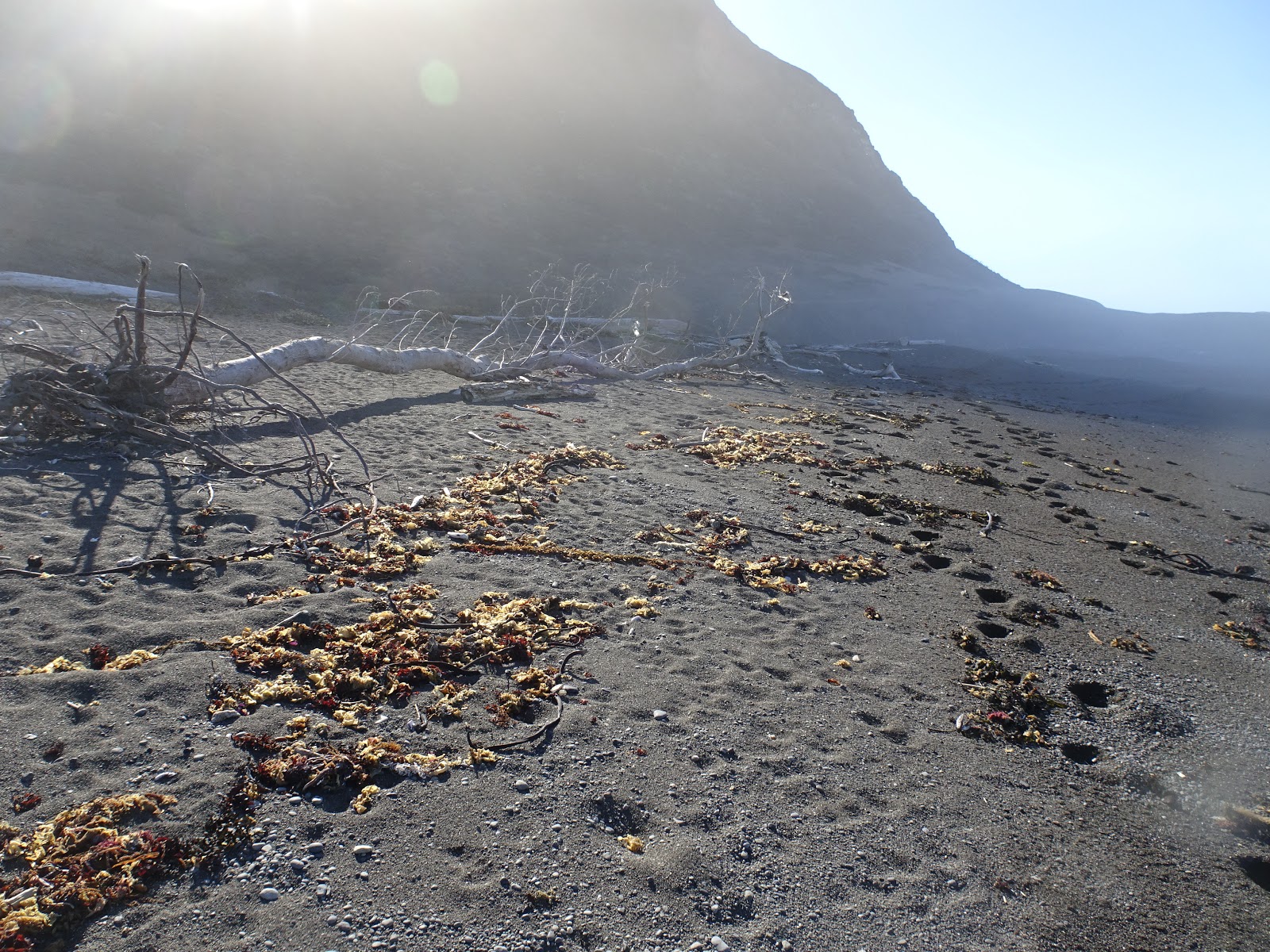
Nature's debris...
Driftwoods abounds along the shorelines, all kinds of size and shapes, even the remnants of a giant redwoods are scattered all over the area.
No regrets..
The long and winding paths.
Ocean's spray..
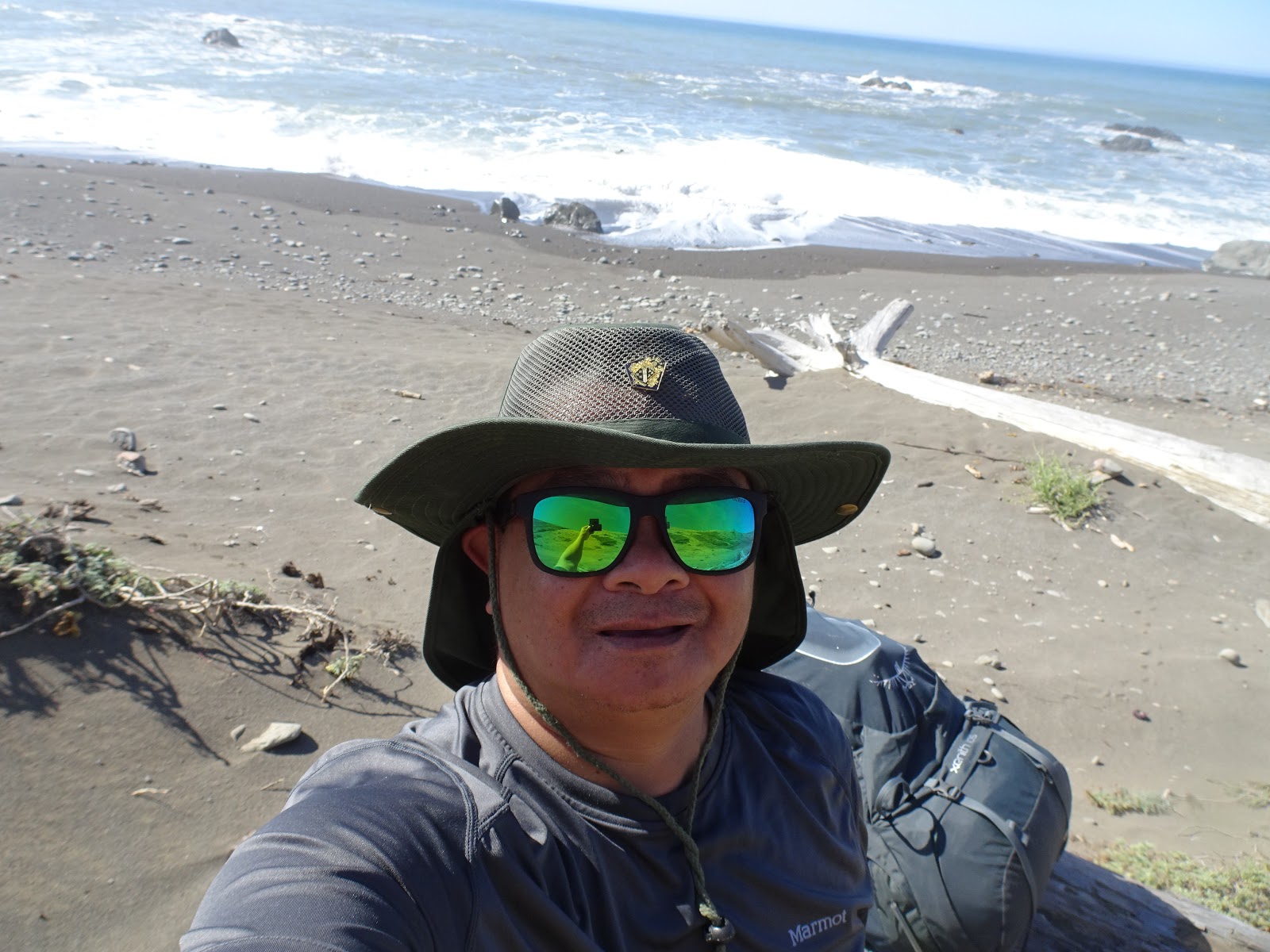
Getting excited
Being alone in the wild it's scary as it sounds but it's really the best experience that I personally enjoys every minute of it. Although it's quite challenging in some areas, overall it's a priceless adventures. The experience that will last a lifetime.
Tide pools plenty of ocean life.
California mussels and other shell fish is so abundant.
Driftwoods scattered all over the beach, some are remnants of the giant redwoods.
The soft sand can swallow your shoes easy, I recommend a high cut hiking boots.
Dont forget to bring energy snacks.
Fresh water source is so abundant along the trail, bring a water filter pump.
Punta Gorda: The
lighthouse was built to protect ships from running aground the treacherous
coast, rocks and reefs dominates the area. Hikers along California’s Lost Coast
are a bit surprised to encounter a couple of rustic cabins near Fourmile Creek,
but had all of the picturesque structures at Punta Gorda remained standing, one
can only imagine what a contrast the craftsman-style buildings would be to what
is otherwise very remote and unspoiled territory. and oil house were placed on
the National Register of Historic Places in 1976, and shortly thereafter the
Honeydew volunteer fire department spent time at the station repairing cracks
in the masonry, welding breaks in the lighthouse’s staircase and railings, and
sandblasting and painting the structures. The station received further
attention in 1989 when the California Conservancy Corps restored and painted
the structures.
Seals, sea lion, and giant elephant seals use this area as a breeding ground.
First night camp at the sealions cookeries
From the distance the trails goes down into the side of the coast and this is where you have to check the ocean tidal schedule. The high tides is about 7 feet deep of ice cold water and there is no way around it. Photo below is the 4 miles of slippery rocks that you have to traverse before the high tide comes.
Down below is the famous 4 mile stretch of rocky beaches that is inaccessible during high tides.
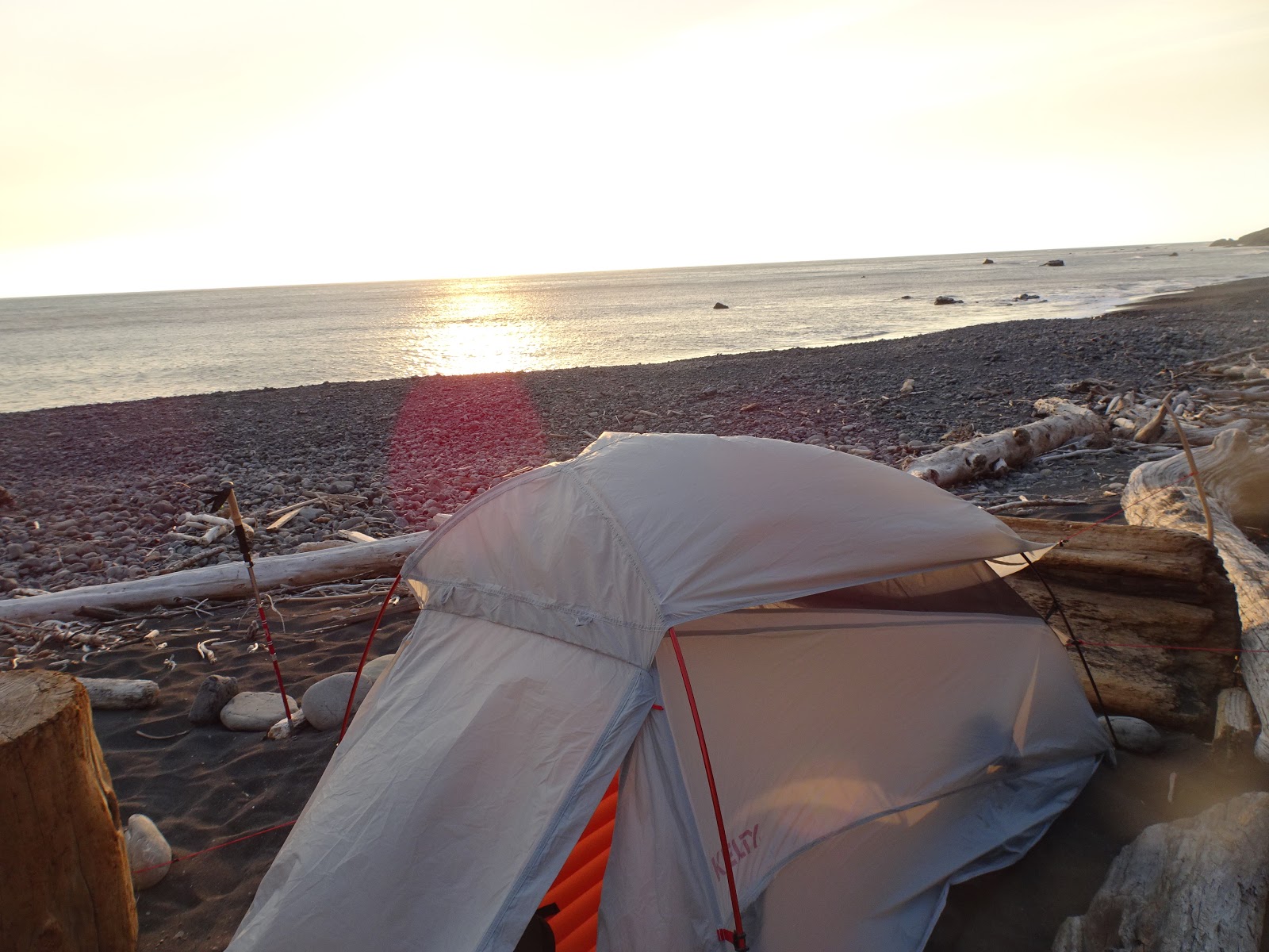
The 2nd night after a long hike, decided to camp at this beautiful beach and have no idea that this place gets very windy and cold at night.
Mesmerizing sunset while having my cup of coffee, temperature getting colder and the winds start to pick up harder.
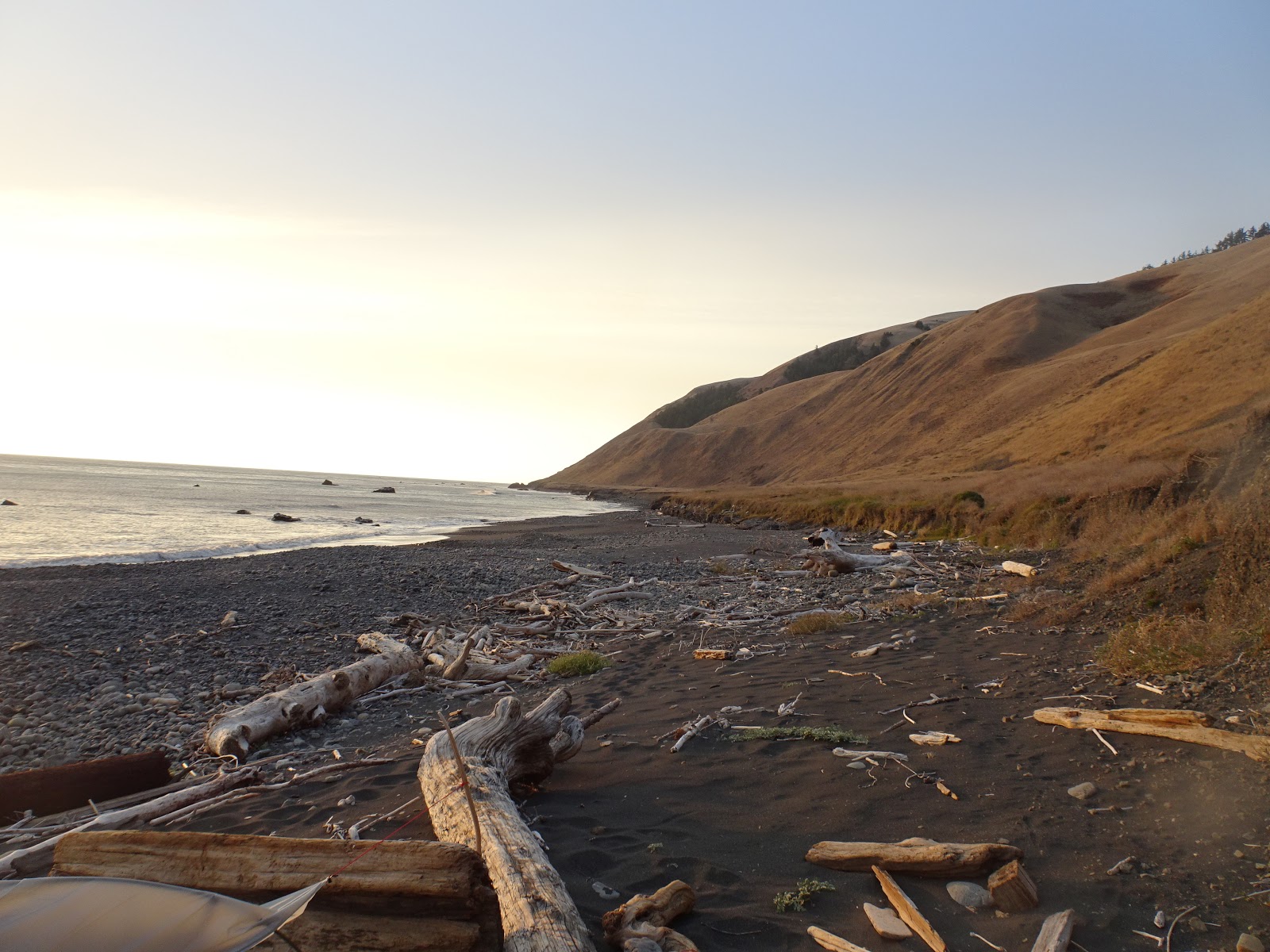
Good morning Lost Coast..
Beautiful day for another long trek to the next campsite...
My own version of 'rock stacking' or "rock balancing"... ain't that bad.. haha
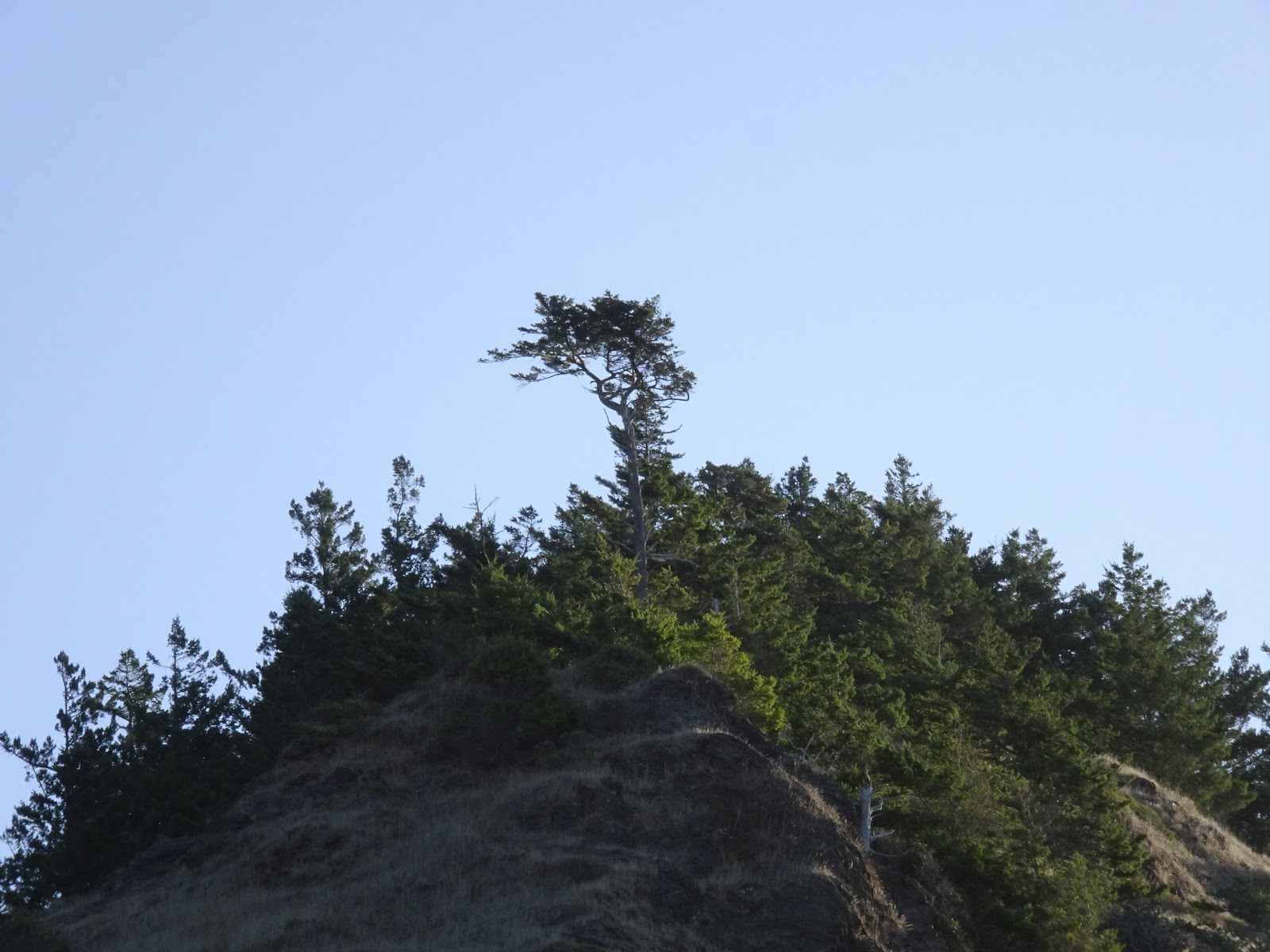
Monterrey pines and old fir trees...
I'm not the only one in the trail this morning, large foot prints of the mighty black bear.
Rest stop on a campsite near a water source..
Big jumbo rabbit, this guy is huge possibly around 20 to 25 lb's size..
There's possibly about 7 or 8 creeks and 3 major river crossing in LC, some of them have make shift bridges like this one, and according to the ranger website during the rainy season the river crossings gets deeper with a strong current.
Uphill inland trails...
Inland trails have a great view of the ocean.. but I was unable to spot a humpbacks during my hike.
The long trail...
Spotted some elks near the beach..
This place is just so peaceful and so serene, devoid of human intrusions and developments, nature at it's best.
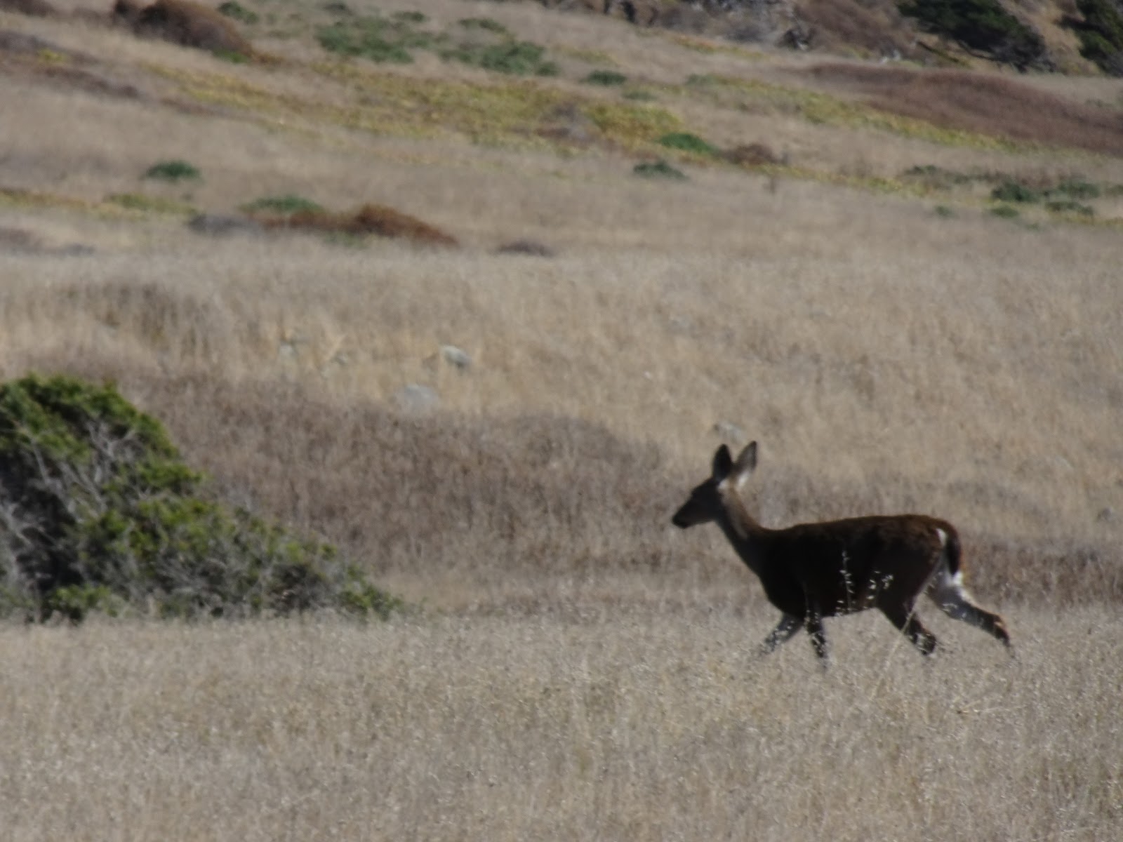
The King Range venison..
Deer's and elks curious about my presence into there realms.
My 3rd night at the King range area, deer's stalking my campsite...
This is the 2 miles stretch of inaccessible beach during high tides.
Shelter Cove is about 6 miles from here.
The Chief - rock face..
Picture postcard view of nature...
Black Sand Beach 5 miles to Shelter Cove..
Free advertisement for Mountain House... lol
The dragon log..
A plover on a photo ops, seals and sealions in the background hundreds of them..
After 4 days of hiking, finally reached the southern trailhead of Shelter Cove. Days of no contact with the outside world, no cellphone connections, no human facilities, other than a few hikers along the way and for the most part it's very remote and serene. Truly a place where you can have a personal commune with nature that eases your mind from all the hustle bustle of life. The crashing waves, the call of the cayote's and owls, the howling of the winds, the rushing river water, the smell of ocean water are such a wonderful therapy that mother nature provides. I'll do this again in heartbeat...


Comments
Post a Comment